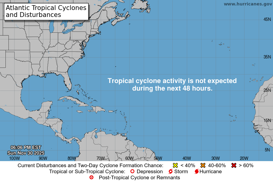
Tropical Weather
Posted: Jun 14th, '15, 19:00
000
ABNT20 KNHC 142315
TWOAT
TROPICAL WEATHER OUTLOOK
NWS NATIONAL HURRICANE CENTER MIAMI FL
800 PM EDT SUN JUN 14 2015
For the North Atlantic...Caribbean Sea and the Gulf of Mexico:
Data from an Air Force Reserve Unit Hurricane Hunter aircraft
indicate that a broad area of low pressure has formed in association
with the surface trough and upper-level low over the south-central
Gulf of Mexico. However, the low's circulation is not well-defined,
and the current shower and thunderstorm activity remains somewhat
disorganized. The aircraft also found a large area of tropical
storm force winds well to the north and northeast of the low.
Upper-level winds are forecast to gradually become more favorable
while this system moves northwestward during the next couple of days
across the western Gulf of Mexico, and a tropical depression or
tropical storm could form during that time. Another Hurricane
Hunter aircraft will investigate this system Monday morning.
Interests in and along the northwestern Gulf of Mexico should
monitor the progress of this system. Regardless of tropical cyclone
formation, tropical storm conditions are possible along portions of
the middle and upper Texas coast and the western Louisiana coast
Monday night and Tuesday. There is also a risk of heavy rainfall
and possible flooding across portions of eastern Texas and western
Louisiana. For additional information, please see High Seas
Forecasts and products issued by your local National Weather Service
forecast office.
* Formation chance through 48 hours...high...80 percent
* Formation chance through 5 days...high...80 percent
